

IcelandBookshop Books
View all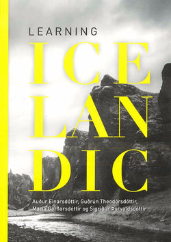
Learning Icelandic (Course). Textbook with free audio
Regular price
£64.95
£38.97
- You save £25.98!
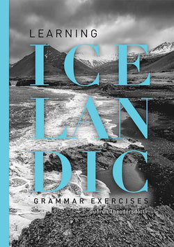
Learning Icelandic (Course). Grammar exercises
Regular price
£49.95
£34.97
- You save £14.98!
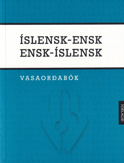
Icelandic-English & English Icelandic Dictionary
Regular price
£54.95
£35.72
- You save £19.23!
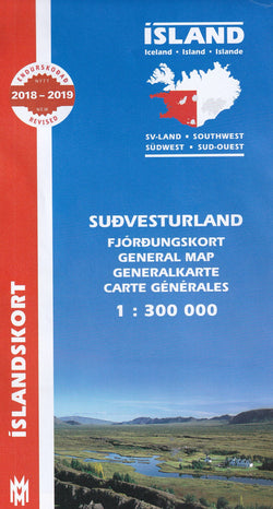
South West Iceland Map 1:300 000
Regular price
£19.95
£13.97
- You save £5.98!
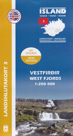
West Fjords Iceland Map 1: 200 000: Regional map 3
Regular price
£19.95
£13.97
- You save £5.98!
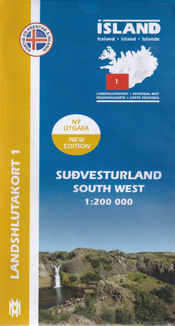
South West Iceland Map 1: 200 000: Regional map 1
Regular price
£19.95
£13.97
- You save £5.98!
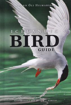
Icelandic Bird Guide: appearance, way of life, habitat
Regular price
£64.95
£45.47
- You save £19.48!
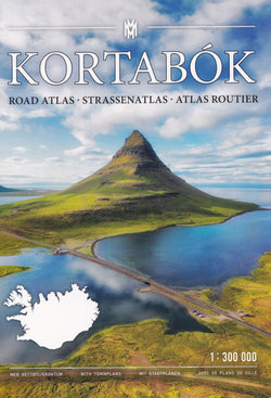
Iceland Road Atlas 1:300 000 Kortabok 2024 - 2026 - comprehensive edition
Regular price
£49.95
£34.97
- You save £14.98!
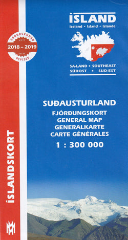
South East Iceland Map 1:300 000
Regular price
£19.95
£13.97
- You save £5.98!
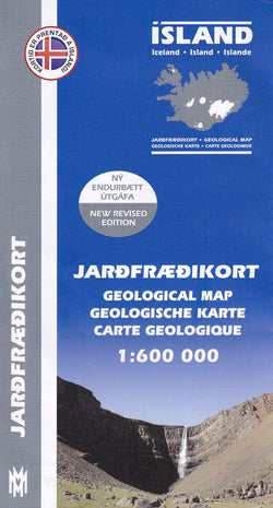
Iceland Geological Map 1: 600 000
Regular price
£19.95
£13.97
- You save £5.98!
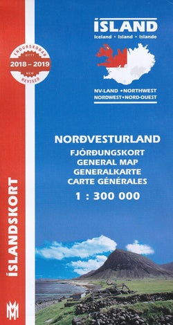
North West Iceland Map 1:300 000
Regular price
£19.95
£13.97
- You save £5.98!
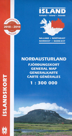
North East Iceland Map 1:300 000
Regular price
£19.95
£13.97
- You save £5.98!
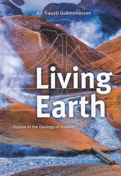
Living Earth: outline of the geology of Iceland - book
Regular price
£69.95
£45.47
- You save £24.48!
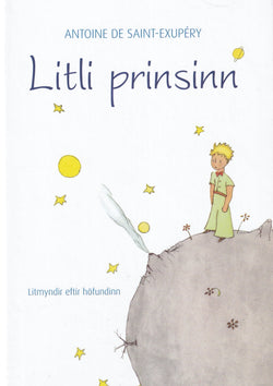
Litli prinsinn / The Little Prince (in Icelandic) - hardback book
Regular price
£46.95
£32.87
- You save £14.08!
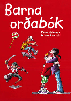
Children's English-Icelandic & Icelandic-English Illustrated Picture Dictionary
Regular price
£49.95
£34.97
- You save £14.98!
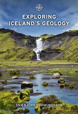
Exploring Iceland's Geology
Regular price
£52.95
£39.71
- You save £13.24!
Sudurland South Iceland Map 1: 200 000: Regional map 9
Regular price
£19.95
£13.97
- You save £5.98!

Central Iceland Map 1: 200 000: Regional map 8
Regular price
£19.95
£13.97
- You save £5.98!
Sudanusturland Southeast Iceland Map 1: 200 000: Regional map 7
Regular price
£19.95
£13.97
- You save £5.98!
Central Highlands Iceland Map 1:300 000
Regular price
£19.95
£13.97
- You save £5.98!
Birdwatcher's Map of Iceland
Regular price
£19.95
£13.97
- You save £5.98!